Log in
All resources
Create a design
52,119 Free Images of Old Celestial Maps
maps made in the 17th century
maps made in the 18th century
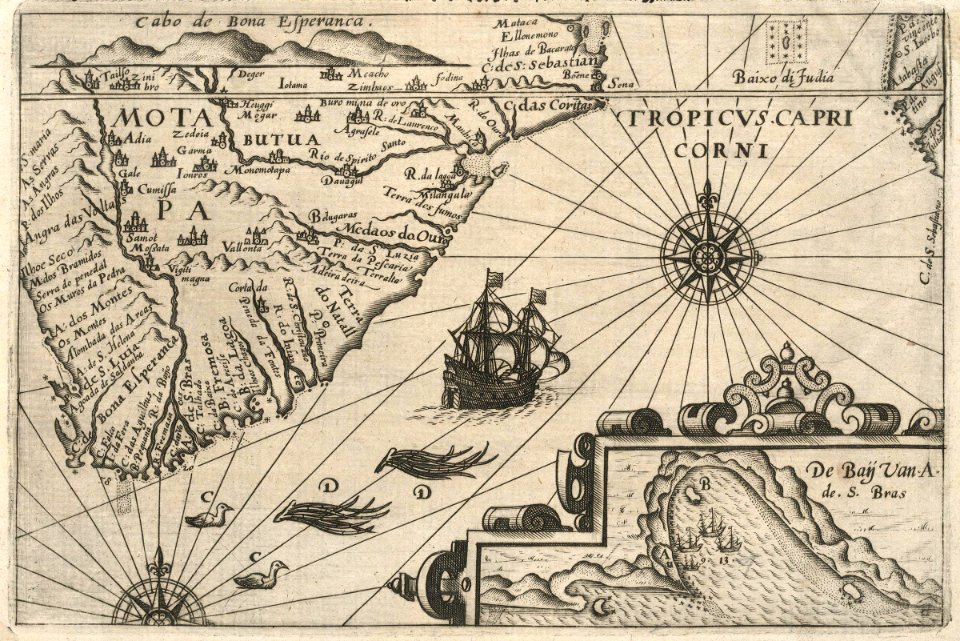
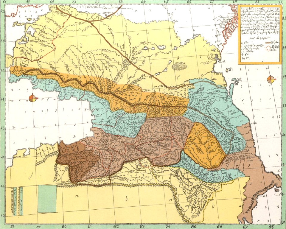
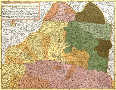
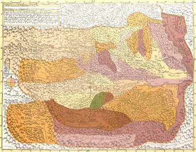
description of kingdom of georgia
its habits and canons
1740s maps of georgia
georgian-language maps
georgia in the 1740s
atlantis magni tomus tertius (biblioteca comunale di trento)
maps with cartouches
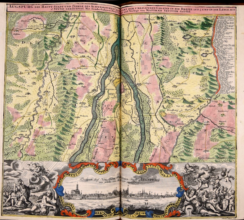
matthäus seutter
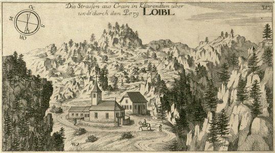
engravings of topographia ducatus carnioliae modernae
st. anne's church (podljubelj)
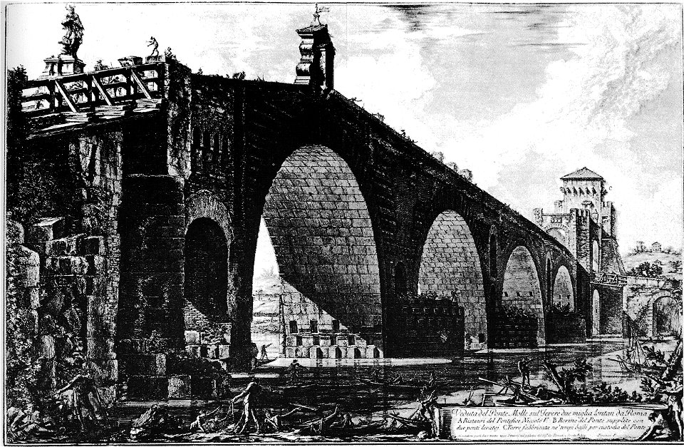
list of roman bridges
ponte milvio
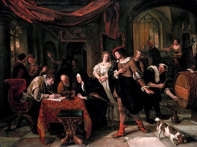
red clothing in art
female
religious paintings in the royal collection of the united kingdom
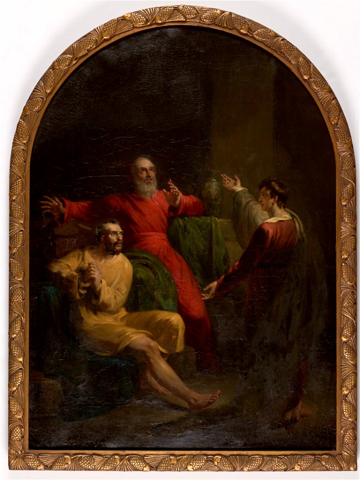
paintings of esther before ahasuerus
1908
1986
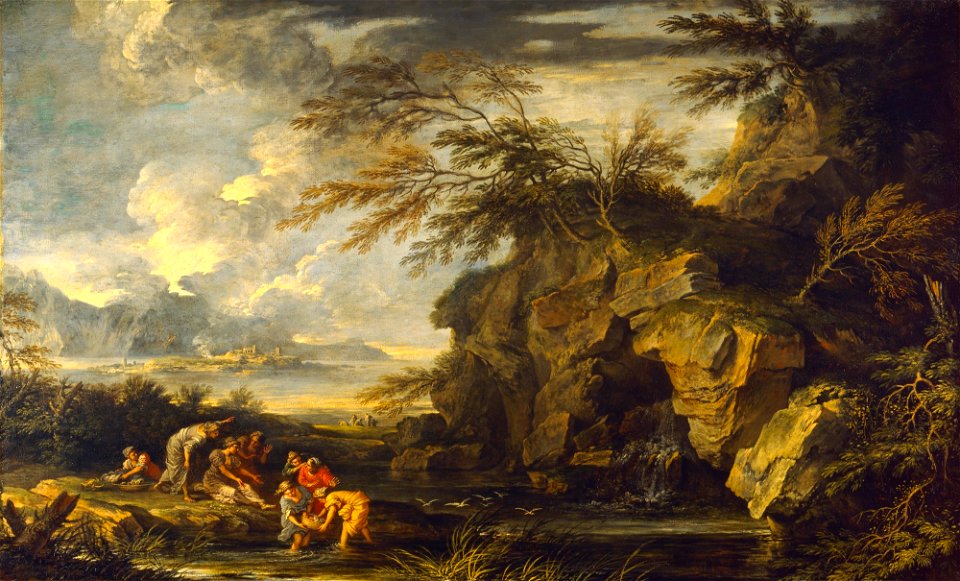
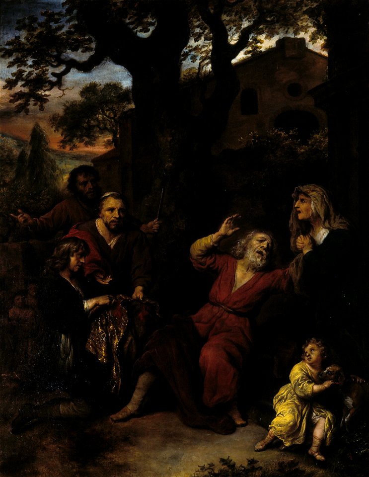
paintings of the finding of moses
salvator rosa
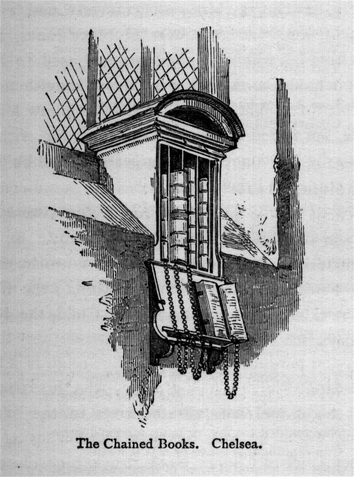
walks in london (1878)
interior
rhode island school of design museum
john wood (painter)
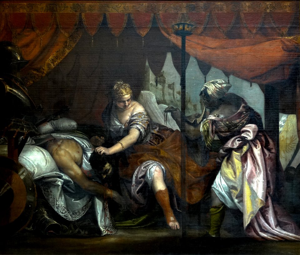
16th-century paintings of judith and holofernes
paintings of judith with the head of holofernes
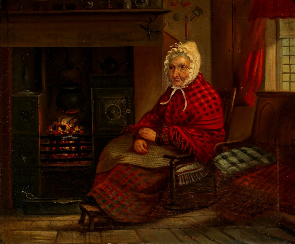
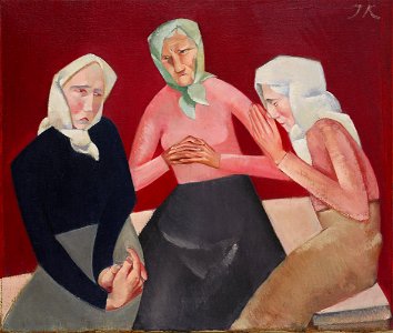
paintings of sitting old women
1916 paintings
hawaii
oregon
hawaii
oregon
17th-century paintings of adam and eve
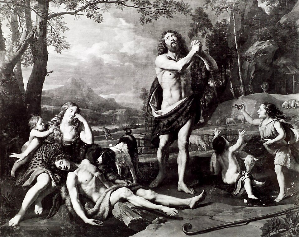
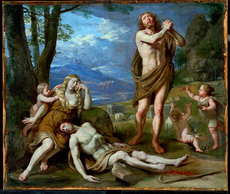
lamentation of abel
17th-century paintings of adam and eve
lamentation of abel
benjamin (biblical figure)
paintings of rachel
old master
1623
religious paintings in the herzog anton ulrich-museum
marriage in old testament
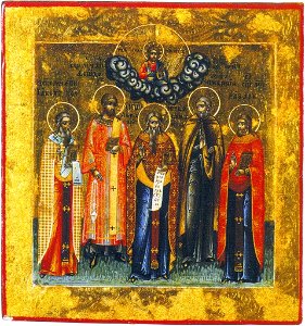
19th-century icons of russia
avvakum petrov
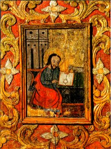
17th-century icons of belarus
royal door icons
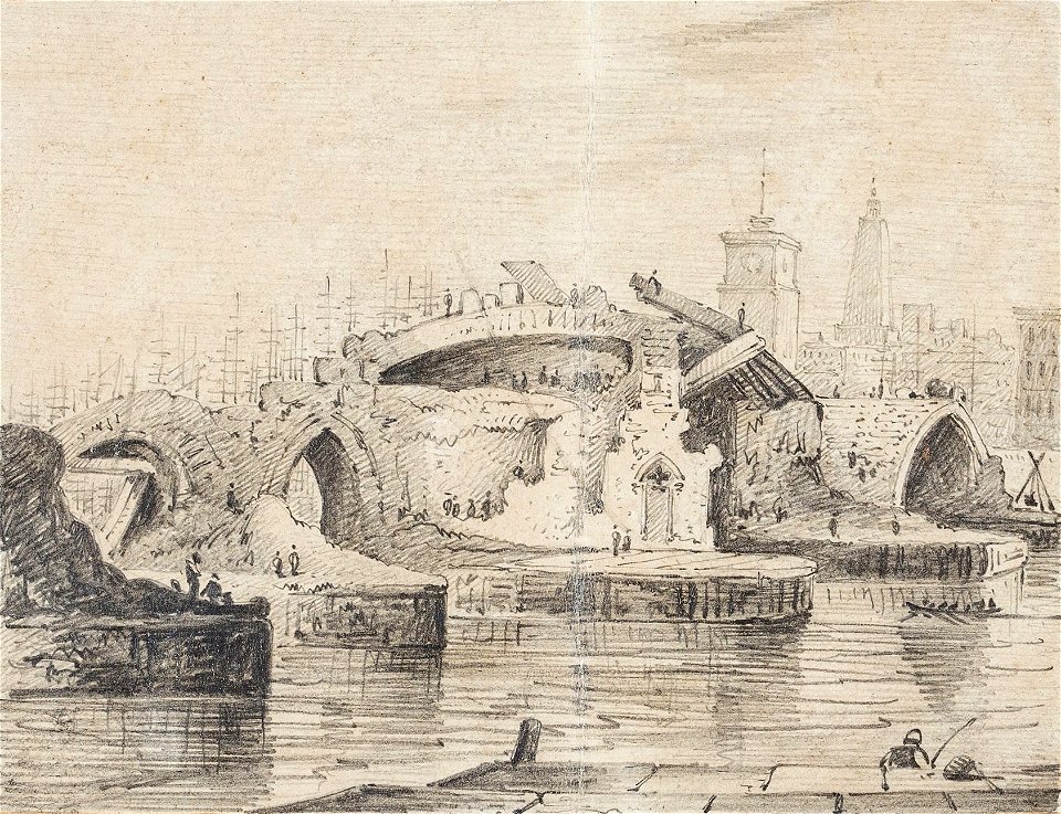
london bridge
demolition
military of bavaria
odeonsplatz
paintings of old testament by rubens
david and abigail in paintings
17th-century paintings of joseph (son of jacob)
1655 paintings
gustave doré's illustrations for la grande bible de tours
art depicting the old testament by gustave doré
art depicting the old testament by gustave doré
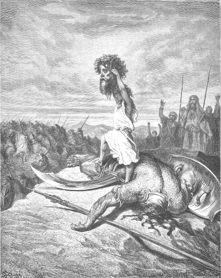
goliath
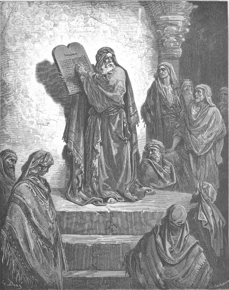
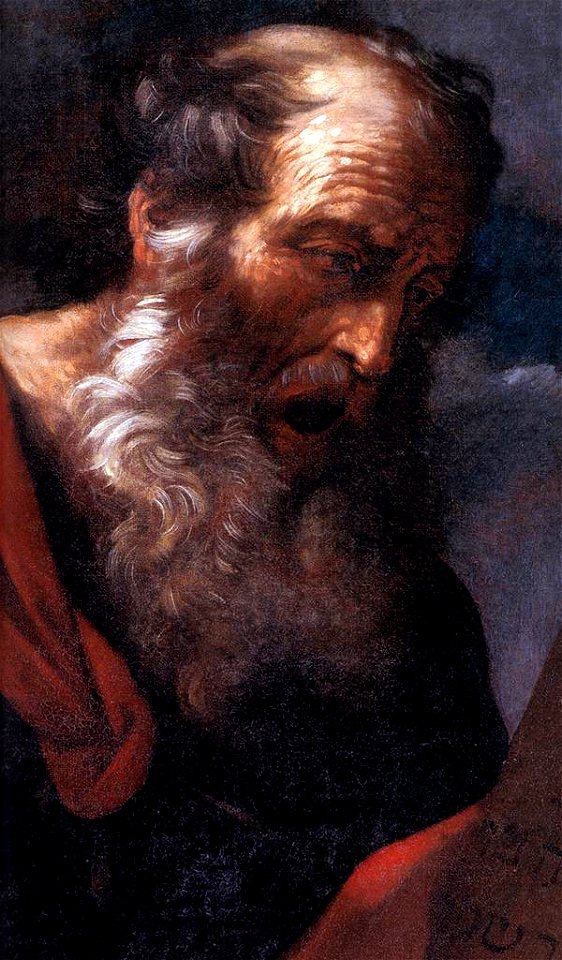
17th-century paintings of moses
paintings of moses in italy
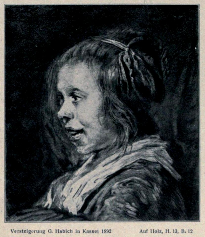
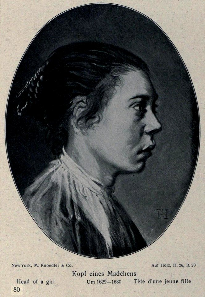
works after frans hals
kassel
old prints of paintings by frans hals
works after frans hals
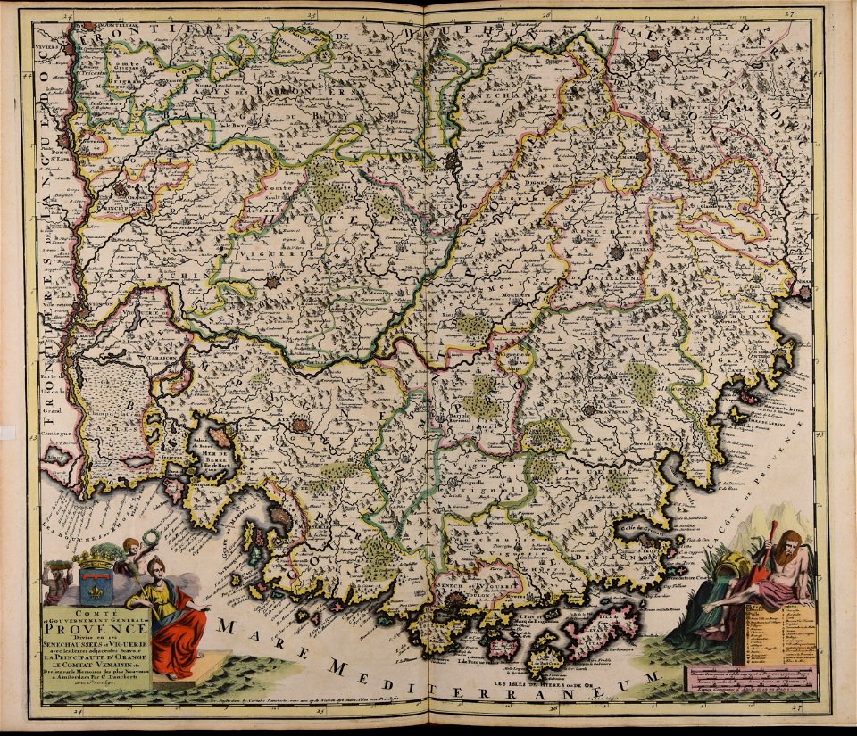
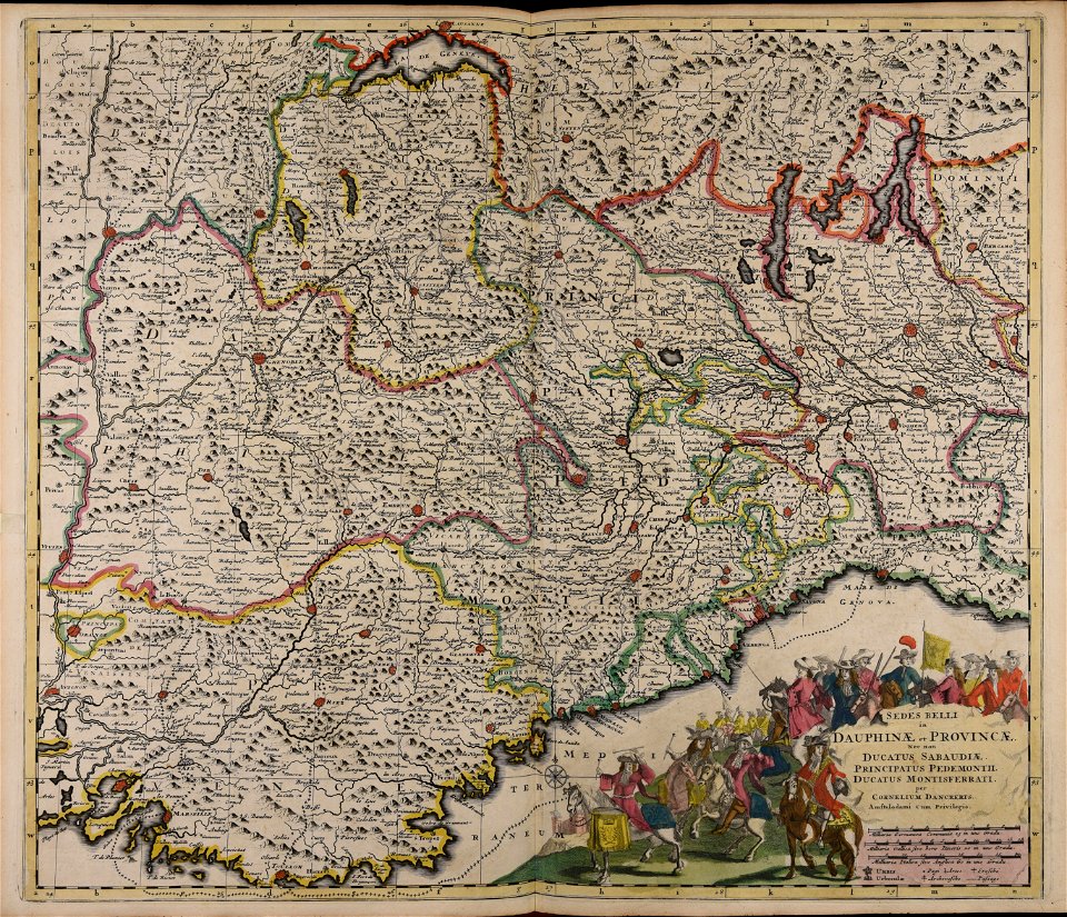
carte de france by guillaume delisle (1721)
philippe buache
prints from mémoires des commissaires du roi et de ceux de sa majesté britannique at the peace palace library
jean ignace de la ville
male portraits by peter paul rubens
flemish baroque painting,baroque
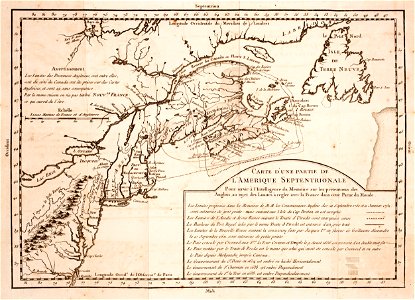
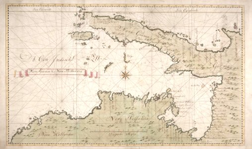
16th-century maps of guyana
old maps of french guiana
1560s maps of north america
paolo forlani
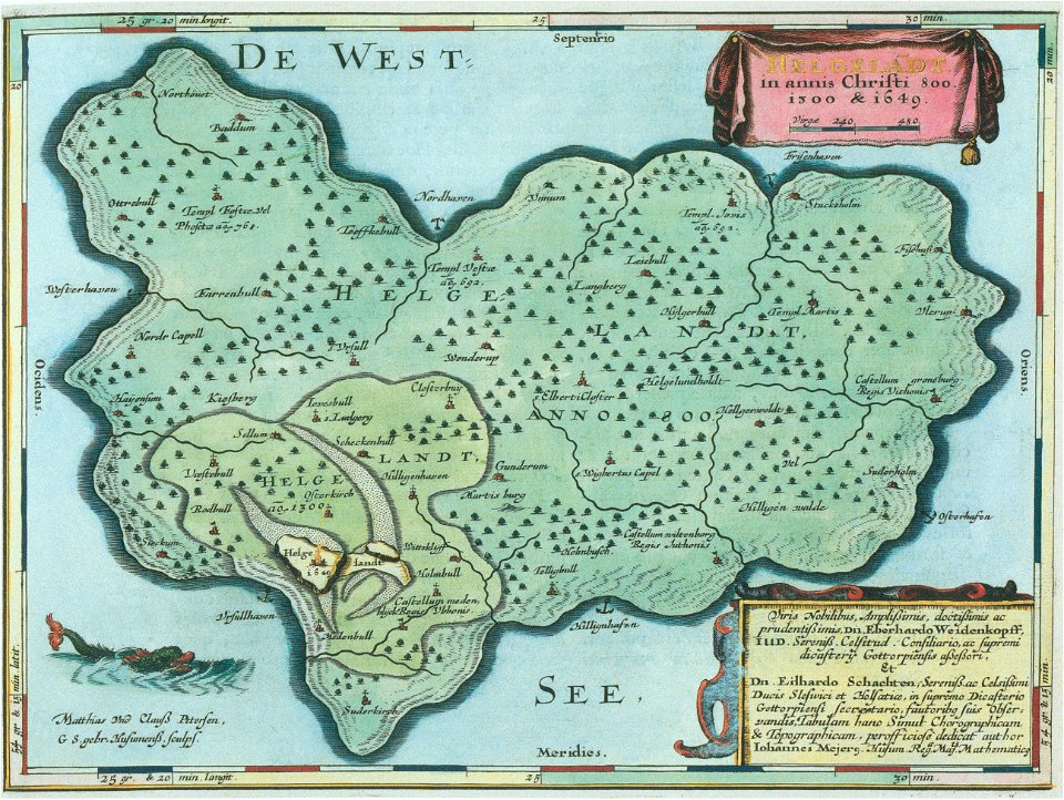
helgeladt in annis christi 800
1300 & 1649
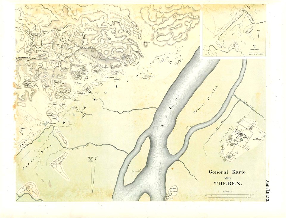
karnak temple complex
thebes
grand
bill
cornell university library
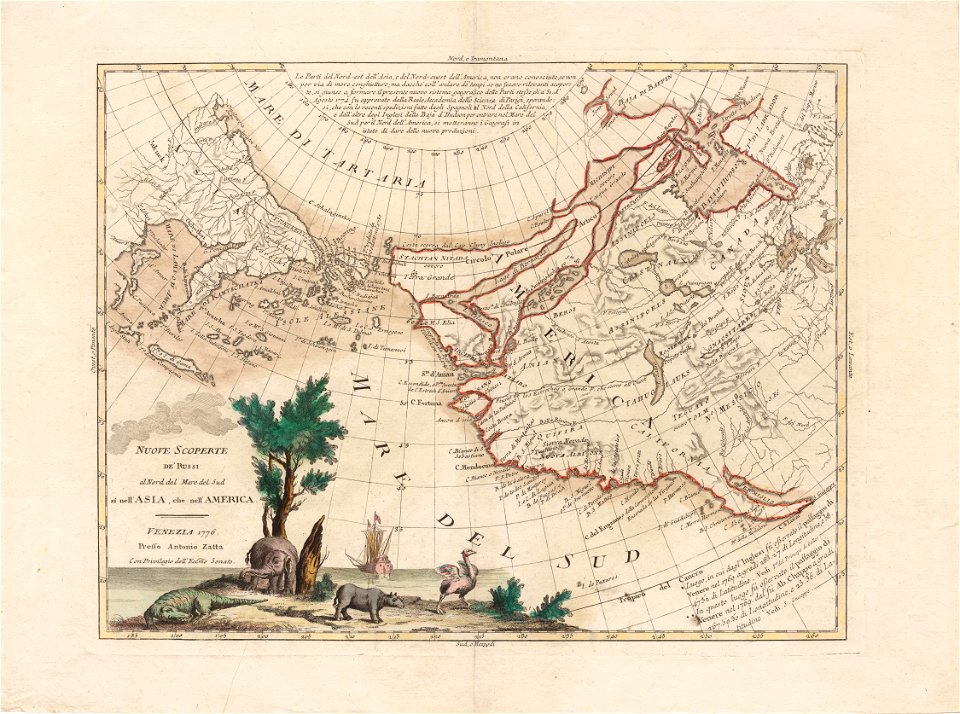
north pacific
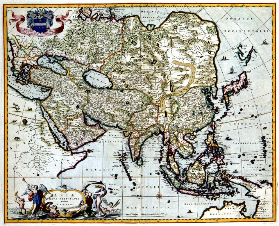
maps made in the 17th century
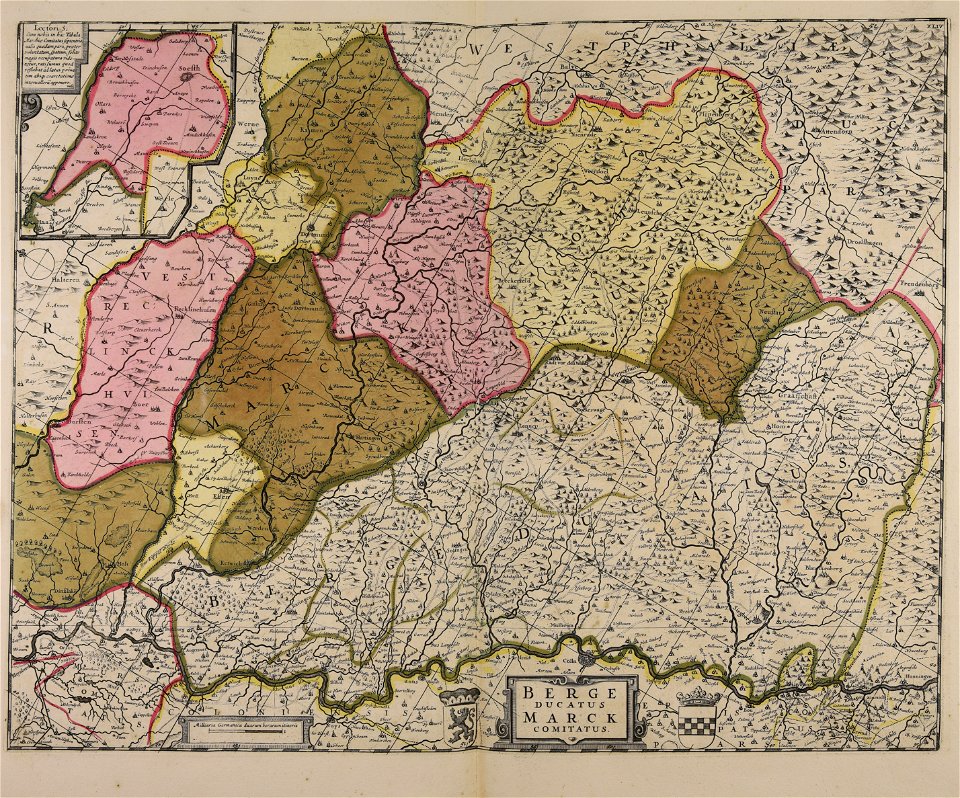
maps of the county of mark
maps with cartouches
copper engraving
17th-century maps of france
maps with cartouches
atlantis magni tomus tertius (biblioteca comunale di trento)
maps made in the 18th century
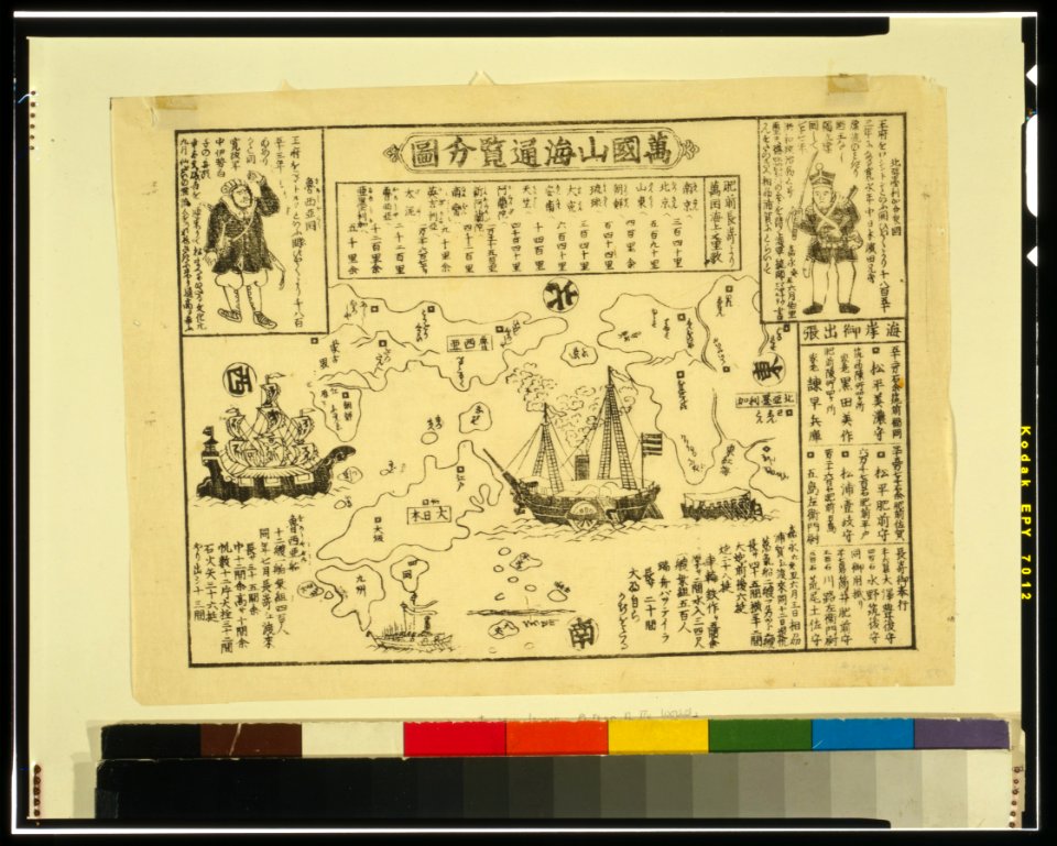
ukiyo-e by unknown artists
nagasaki-e
ukiyo-e by unknown artists
nagasaki-e
maps of the dutch east india company - madagascar
1598
new holland (australia)
1720s
maps of the dutch east india company - sri lanka
1765
18th-century maps of indonesia
banda islands
batavia
1740
atlantis magni tomus tertius (biblioteca comunale di trento)
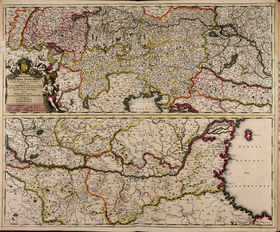
maps made in the 18th century
maps made in the 18th century
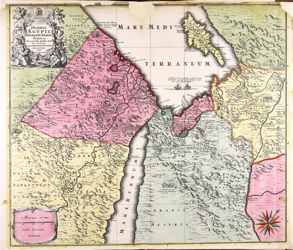
1720s maps of egypt
maps made in the 17th century
cornelis danckerts (i)
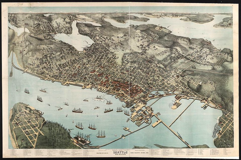
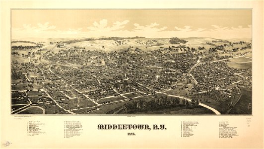
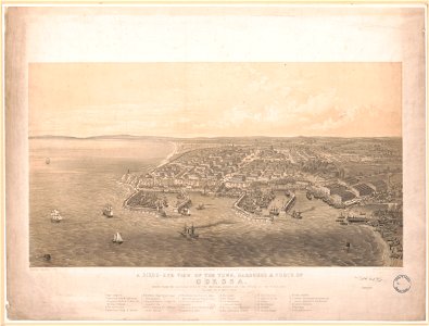
lithographs of cities in the united states
1891 in seattle
maps made in the 18th century
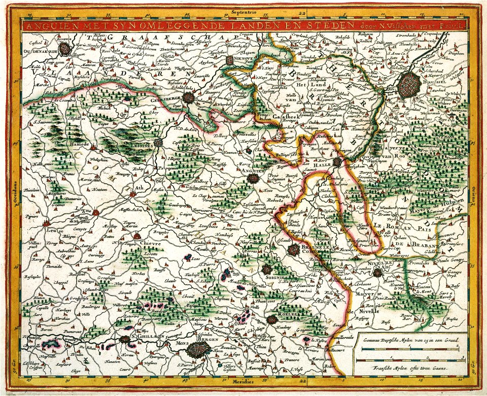
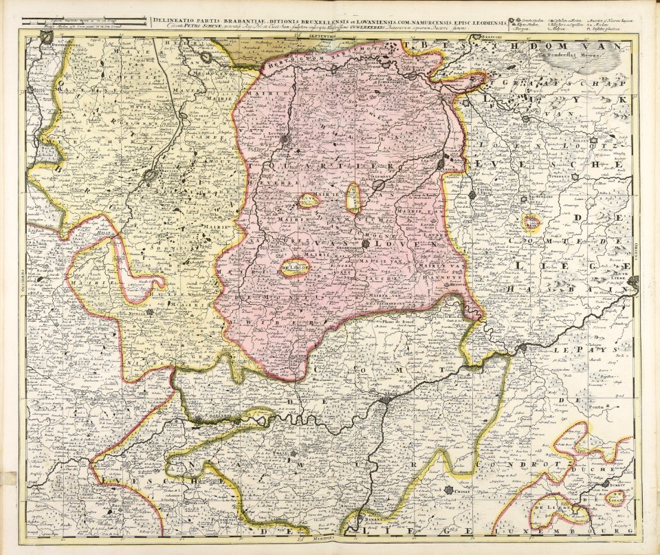
belgio
maps of the eastern mediterranean
bodleian library
description of kingdom of georgia
its habits and canons
description of kingdom of georgia
its habits and canons
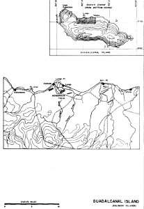
henderson field (guadalcanal)
solomon islands
description of kingdom of georgia
its habits and canons
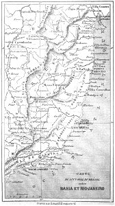
19th-century maps of brazil
maps by alexandre vuillemin
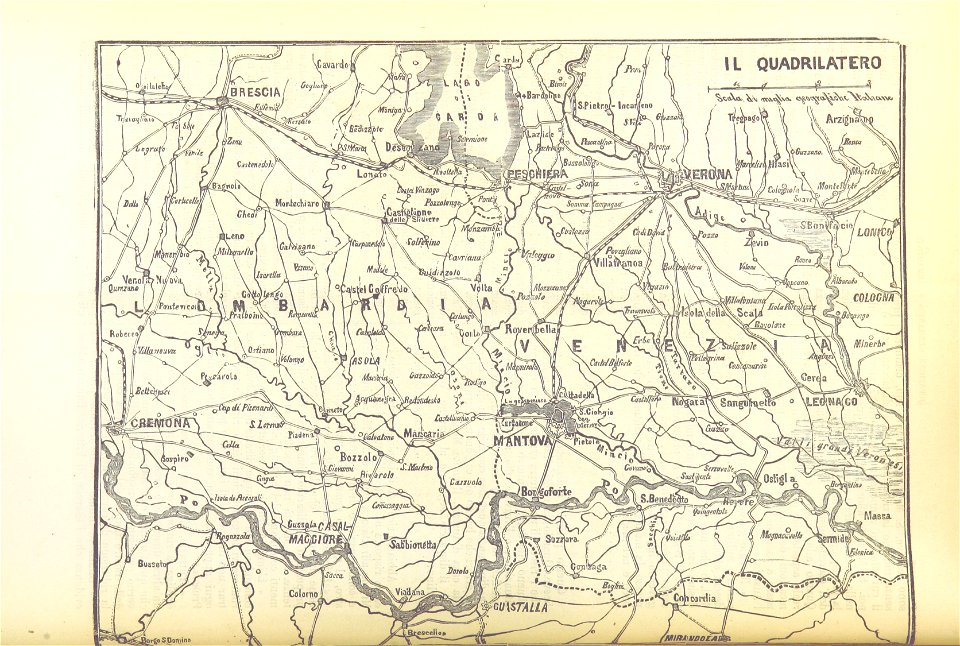
pictorial history of the russian war 1854-5-6 by george dodd
1856 maps of georgia
description of kingdom of georgia
its habits and canons
description of kingdom of georgia
its habits and canons
maps made in the 18th century
gerard valck
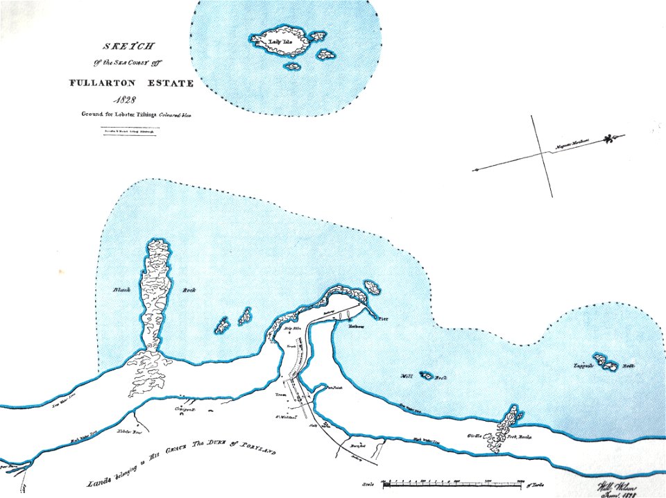
islands of scotland
maps of scotland
maps by nicolaes visscher i
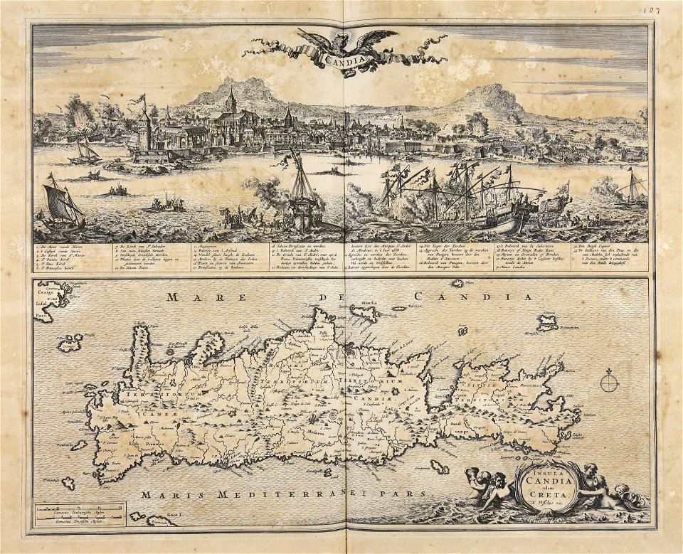
creta
orange county
new york
collections de la bibliothèque nationale et universitaire de strasbourg
maps by daniel specklin
maps of fort fisher
fort fisher
cornell university library
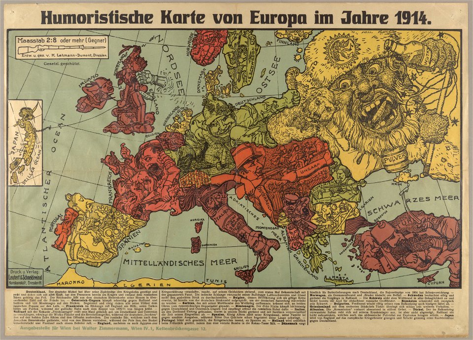
political cartoons
maps from the mechanical curator collection available to georeference
maps from the mechanical curator collection
atlantis magni tomus quartus (biblioteca comunale di trento)
maps by nicolaes visscher i
popular science monthly illustrations/volume 32
low pressure systems
maps made in the 17th century
cornelis danckerts (i)
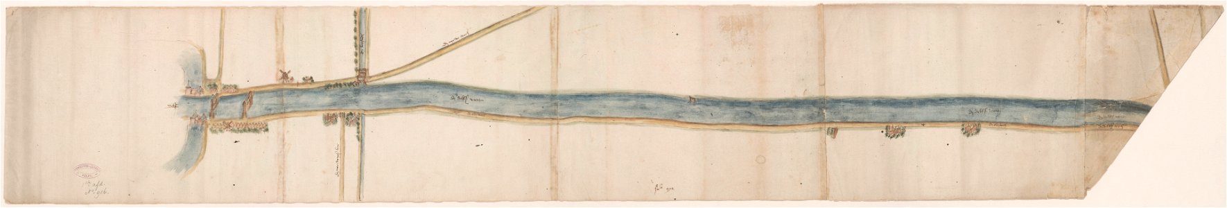
maps of waterways in the netherlands
collections of stadsarchief delft
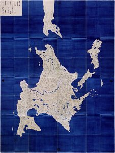
important cultural property of japan in tokyo
maps in the national archives of japan
maps made in the 17th century
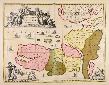
danimarca
celestial globe
flutes in art
1640s works in taiwan
1644 maps
paintings by childe hassam
impressionism
maps by nicolaes visscher i
old maps of assyria
1801 maps of europe
maps by john cary
historical images of orša
maps of orša
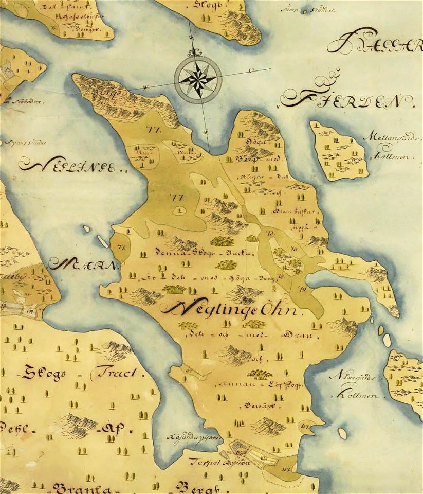
östra yttringe gård
yttringe
saltsjöbaden
maps
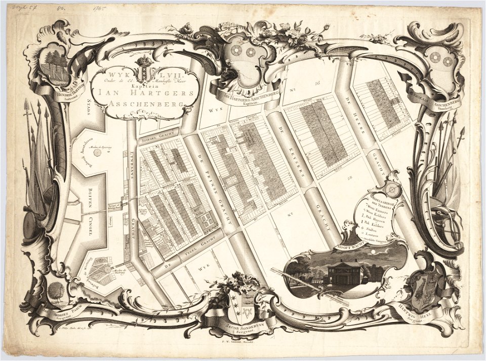
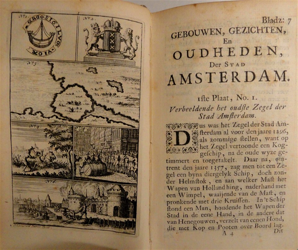
maps in the stadsarchief amsterdam
jacobus verheyden
maps in the stadsarchief amsterdam
caspar philips
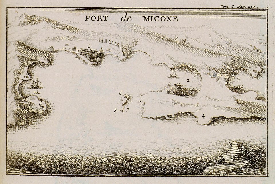
joseph pitton de tournefort
maps of mykonos
maps by george h. walker and company
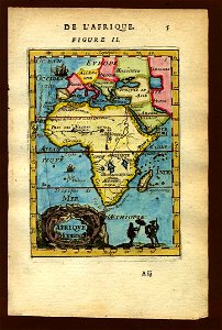
description de l'universe
1683 maps of africa
description de l'universe
1683 maps of europe
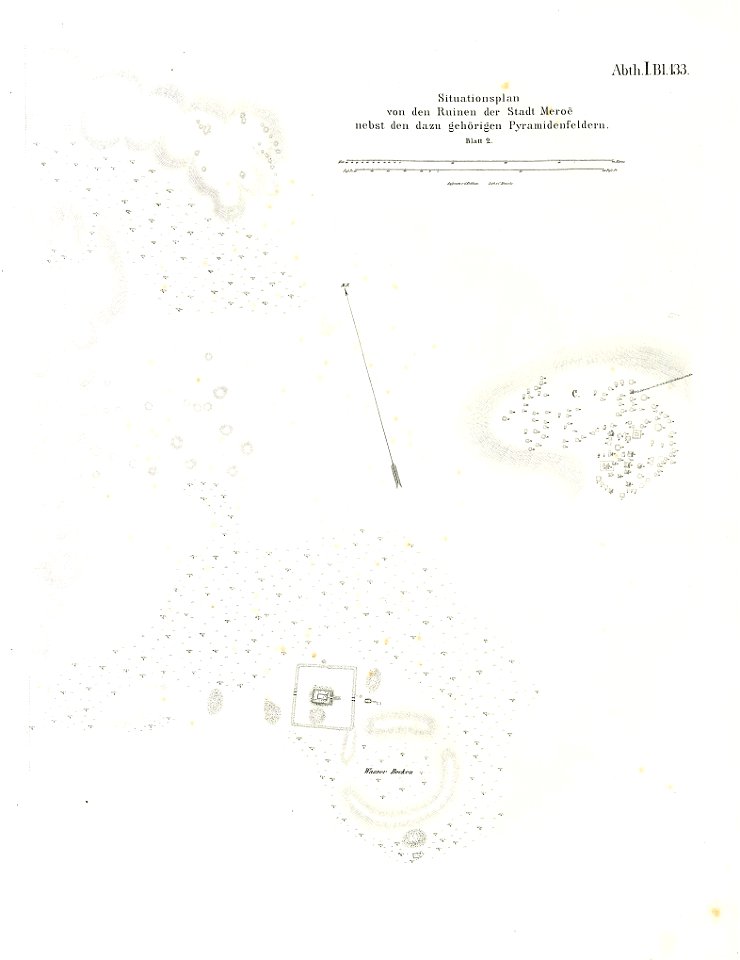
illustrations of meroe pyramids
lepsius-projekt - maps
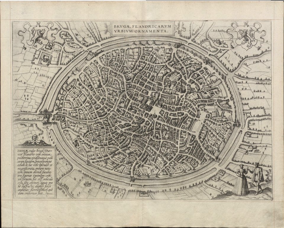
maps of bruges by braun & hogenberg
maps in the stadsarchief amsterdam
jacobus verheyden
historical images of słonim
maps of slonim
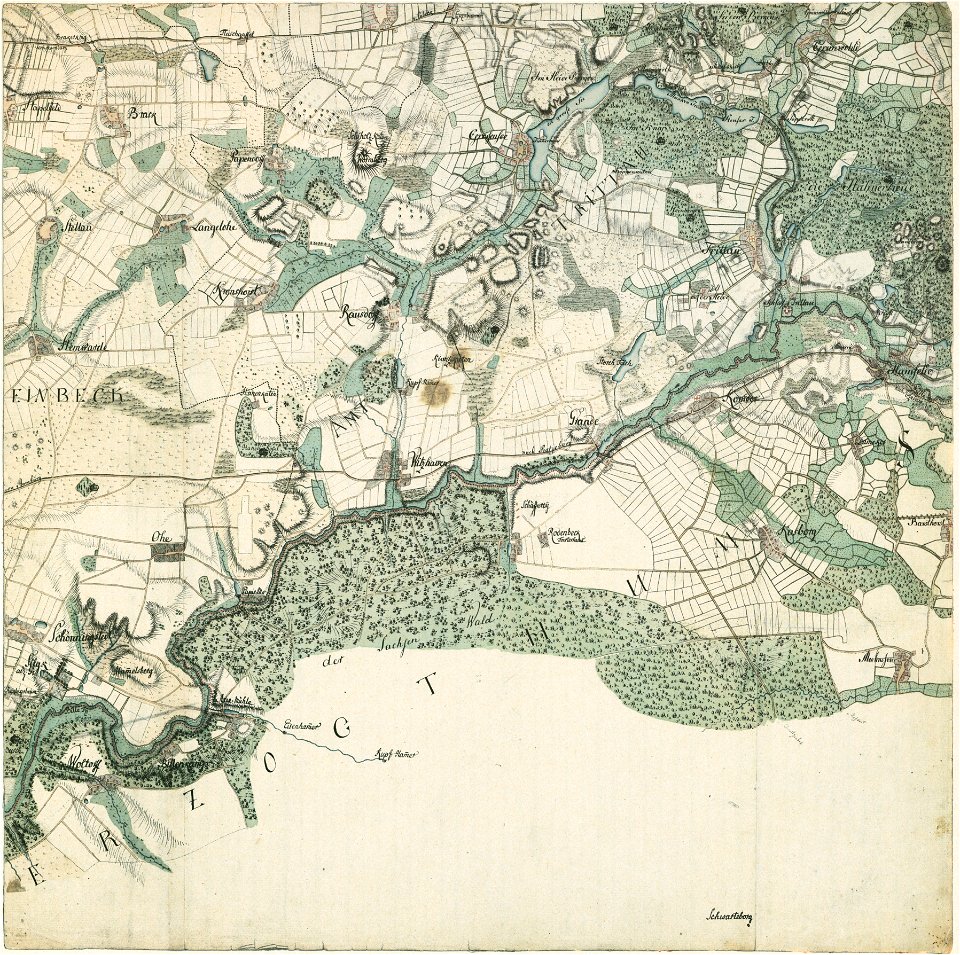
history of ratzeburg
1730 maps of germany
historical maps of lübeck
lübeck-st. jürgen
maps by george h. walker and company
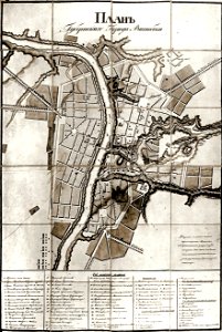
historical images of viciebsk
maps of viciebsk
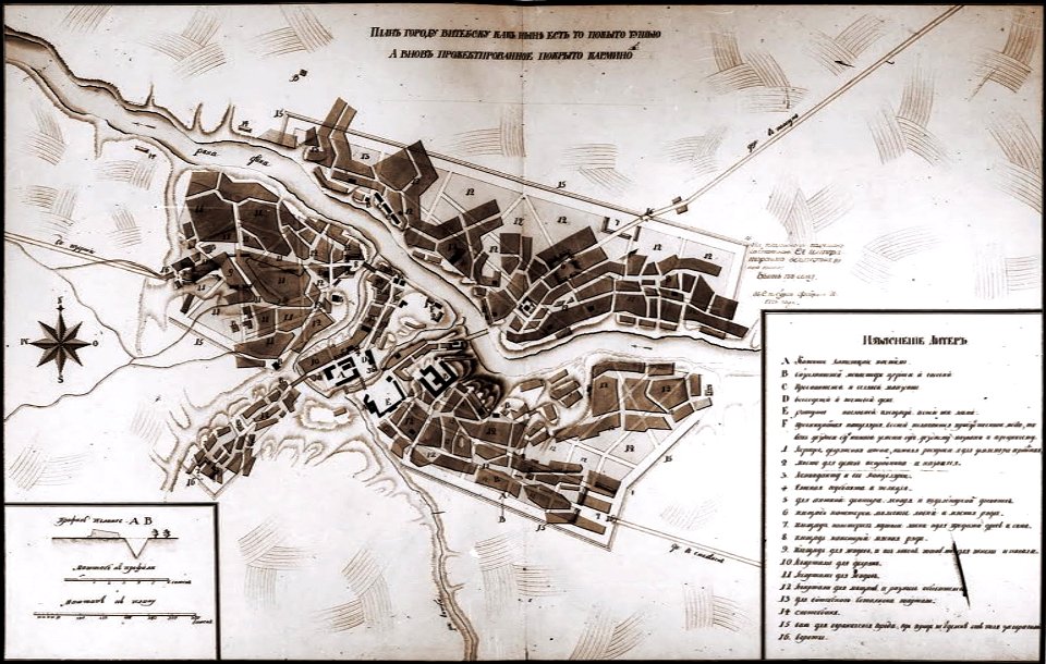
historical images of viciebsk
maps of viciebsk
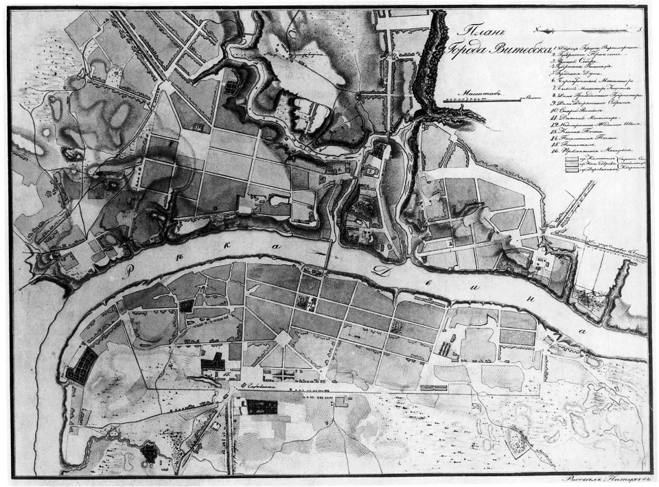
historical images of viciebsk
maps of viciebsk
9201 - 9300 of 52,119
Next page
/ 522